
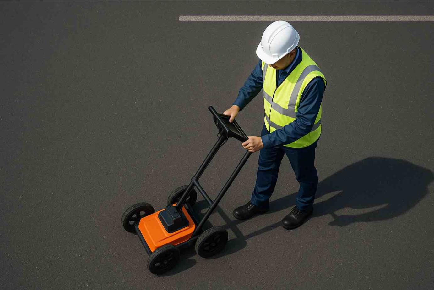
Ground Penetrating Radar (GPR)
Non-destructive subsurface scanning for buried utilities
Our ground penetrating radar (GPR) service provides a fast, non-intrusive way to “see” below the surface and detect buried services, voids and structures before you dig or build.
Ideal for congested utility corridors, critical infrastructure and areas where plans are missing or unreliable.
When to Use GPR
GPR is the preferred option where you need extra confidence about what’s below the surface.
- Verifying buried utilities before excavation
- Locating non-metallic pipes and conduits
- Checking for unknown or abandoned services
- Investigating anomalies, voids or changes in ground conditions
Utility Detection Made Easier
Our GPR systems are designed specifically for utility detection, giving you a detailed picture of what lies beneath roads, pavements, slabs and open ground without breaking the surface.
We use advanced, high-dynamic-range GPR units that collect data in real time. Compared to older technologies, this means better penetration, clearer imaging and less time spent on site.
The technology is suitable for both metallic and non-metallic utilities, including plastic, concrete and clay pipes that traditional cable locators cannot detect.
How GPR Helps Protect Your Assets
- Reduces the risk of striking unknown services
- Helps confirm the depth and alignment of buried assets
- Supports accurate mark-outs and safe excavation planning
- Provides additional data where existing plans are incomplete
High Quality Data Capture
Modern GPR equipment uses high-speed sampling and on-board processing to filter out random noise. This produces clearer results and more reliable interpretations in the field.
We focus on clear communication on site, so you understand what the data is telling us and how it relates to your project.
Understanding GPR Hyperbolas & Signatures
When GPR passes over a buried object, the reflected signal typically appears as a curved shape in the radar profile, often referred to as a “hyperbola”. The shape and intensity of this signature can help indicate what kind of feature is present.
Linear utilities such as pipes can produce a series of hyperbolic responses when scanned across their alignment. Changes in the curvature can indicate differences in size, depth or material.
Accurate Interpretation
Interpreting GPR data requires experience. We combine field expertise with the capabilities of modern equipment to distinguish between utilities, ground changes and other subsurface features.
Our focus is on practical outcomes: giving you clear, actionable information to help you work safely.
Save time and money by engaging specialists who can complete GPR scans and service locating correctly the first time. For your assurance, we carry WorkCover, Public Liability and Professional Indemnity insurance.
Book GPR Scanning in Melbourne & Country Victoria
We provide GPR services for builders, civil contractors, surveyors, councils and asset owners across Melbourne and regional Victoria.
Tell us about your site, planned works and any available plans, and we’ll recommend the best combination of traditional locating and GPR scanning.
Contact Details
Phone: 0419 222 999
Email: david@undergroundservicelocating.com.au
Based in Melbourne, servicing metro & country Victoria.